A Map of Literary London
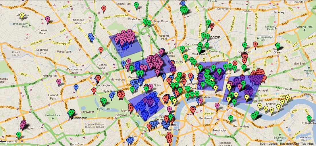
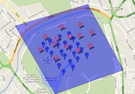
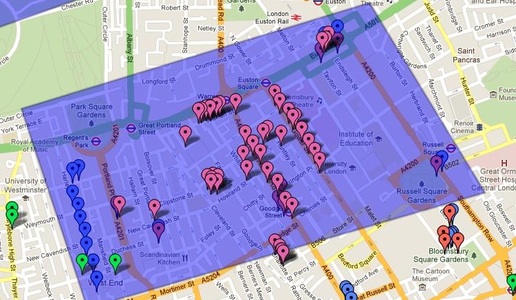
Above is a map of all the locations referenced, visited, and mentioned that are located in London in the 5 works we have read this semester (A Journal of the Plague Year (Red), Oliver Twist (Green), The Waste Land (Yellow), Mrs. Dalloway (Blue), and Saturday (Purple)). For each time a place, street, or significant London monument was mentioned in these 5 texts, a color-coded button (corresponding to the novel) we placed a button on the map marking the location. The shaded regions correspond to the 5 most dense areas throughout London with respect to number of references per square kilometer. These "hot zones" are listed below in order of most dense to least dense:
For an interactive map of the zones go to: http://maps.google.com/maps/ms?msid=200797899008280788844.0004b15722957f81d6ba1&msa=0&ll=51.531921,-0.108318&spn=0.059907,0.169086
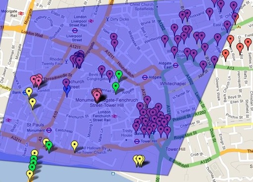
Whitechapel/ London Bridge Zone
58.67 hits per square Kilometer
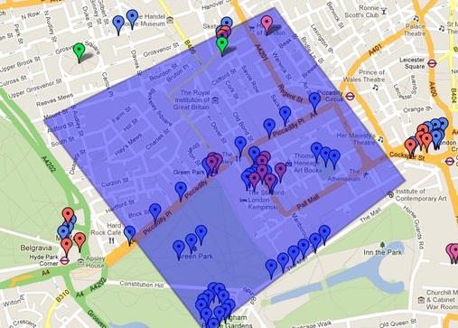
Buckingham Palace Zone
49 hits per square Kilometer
City of London Zone
44 Hits Per Square Kilometer
Regent's Park Zone
35 Hits Per Square Kilometer
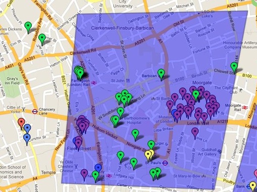
Medical Area Zone
34.5 Hits Per Square Kilometer
Mapping made possible by Google Maps.
